Start with a route you can explain
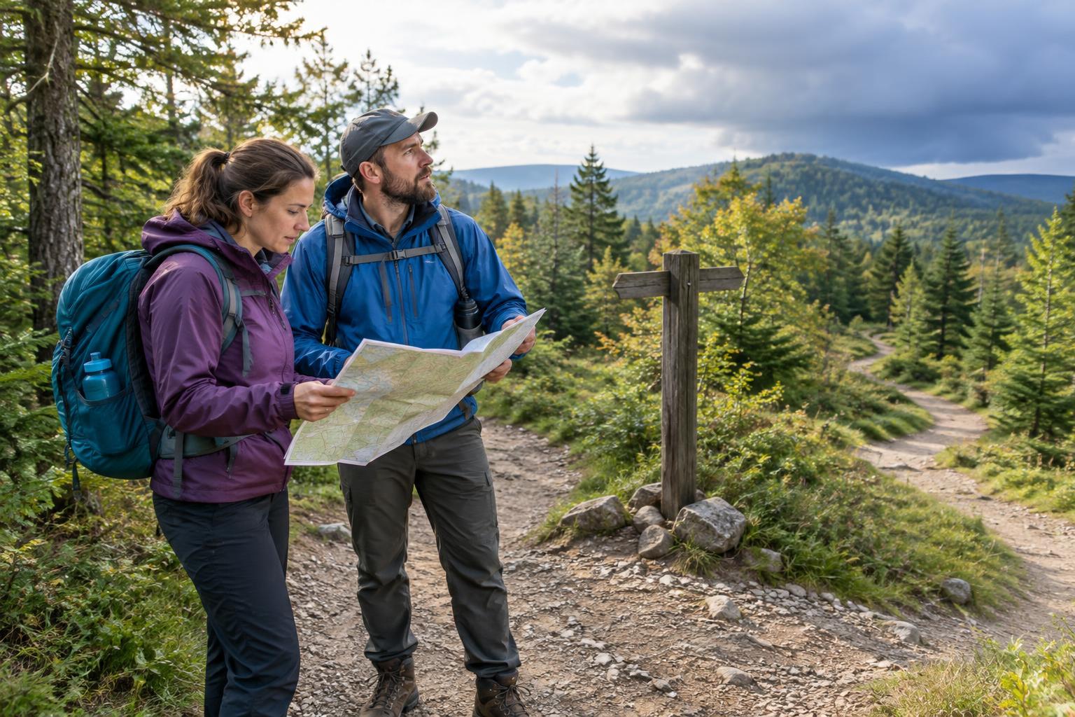
Before leaving the trailhead, look at a map of the route you intend to walk. Identify your starting point, the main junctions, any loop or turnaround point, and the path back. Note landmarks such as a bridge, stream crossing, viewpoint, or road crossing. If you cannot describe the return route in a few sentences, spend another minute with the map before you begin.
Bring a map you can use without a mobile signal, whether that is a paper copy or a downloaded map on a charged phone. Check that it shows your intended trail rather than just nearby roads. A phone can be useful, but a low battery or poor reception should not be the only thing standing between you and your way back. Tell someone where you plan to go and when you expect to return, especially if you are walking alone.
Read markers as clues, not guarantees
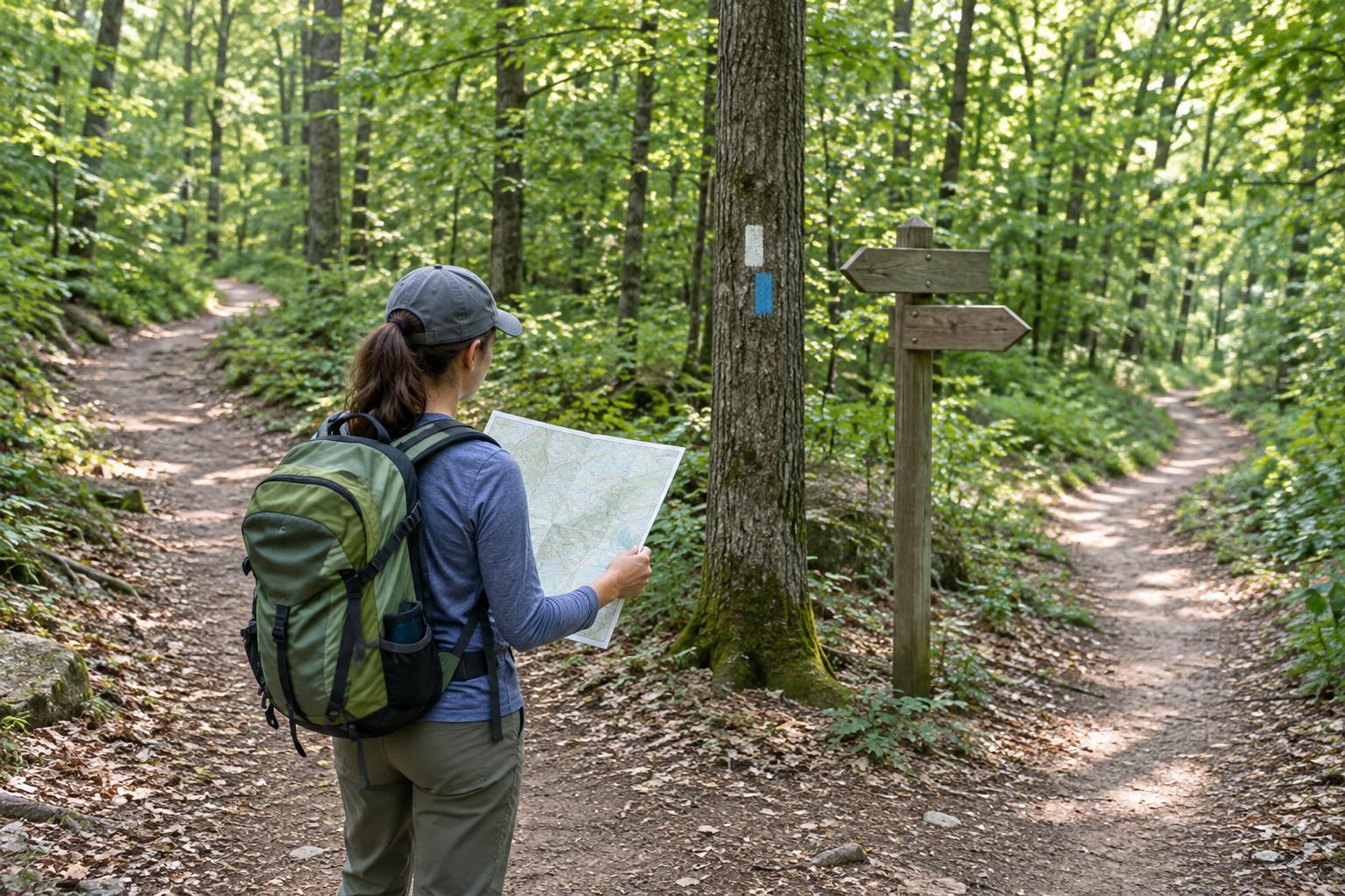
Trail systems use different kinds of markers: painted blazes, colored discs, arrows, numbered posts, or signs with trail names and destinations. There is no universal color code, so check the trailhead map or local signboard to learn what the markings mean in that area. A marker may identify a trail, indicate a turn, or simply reassure you that you are still on the route.
Look at the direction a marker faces and the path beside it. An arrow or angled mark may point toward a turn, while a marker farther along the path may confirm it. Markers can be hidden by leaves, faded, damaged, or intended for walkers traveling the opposite way. If one seems to contradict the map or the shape of the trail, pause and gather more clues rather than following it automatically.
Use a repeatable routine at every junction
A junction is the best place to slow down. First, locate yourself on the map using the section you have just walked and any nearby landmark. Next, read every sign and look at all the possible paths, including narrow branches that are easy to miss. Then choose the path that fits both your planned direction and the available markers. Walk a short distance and check for confirmation before committing to it.
Notice what the junction looks like from the side you will see on the way back. A trail that appears obvious on the outward walk may be less clear in reverse. You can make a brief note such as “left at the wooden post on return” or take a photo of the signs for your own reference. Avoid relying on a photo alone: a fallen sign or a different approach angle may make the scene look unfamiliar later.
Keep track of your progress between junctions. If your plan says the next turn comes after a bridge, do not take an earlier unmarked side path simply because it seems well used. Likewise, if you pass the bridge and walk much farther than expected without finding the turn, stop and reconsider. Distance estimates on a walk are imperfect, but a mismatch is a useful prompt to check.
When the trail stops making sense
If you cannot reconcile the path, markers, and map, stop rather than continuing in the hope that things will become clear. Look back the way you came and identify the last point where you were certain of your location. If it is safe to do so, retrace your steps to that point. This is often more useful than pressing ahead toward a path that merely looks promising.
Take a moment to check whether you have missed a turn, misread a sign, or switched onto another trail. Compare visible features with your map, but do not assume a phone’s location dot is perfectly precise. If you cannot confidently regain the route, prioritize staying safe: conserve phone battery, make yourself visible, and seek help through the appropriate local emergency service if you need it. Avoid shortcuts across unfamiliar ground, where terrain and property boundaries may be hard to judge.
Build confidence on familiar walks
Navigation becomes easier when you practice on a short, well-marked route before trying one with many intersections. At each junction, predict where the path should go from the map, then compare that prediction with the signs and terrain. On the return walk, try recognizing the same junctions from the opposite direction.
The goal is not to memorize every marker. It is to maintain a clear sense of your last confirmed location and your next expected decision point. With that habit, a missing blaze or an unexpected fork becomes a reason to pause and check, not a reason to guess.